Mike became fascinated by the Quabbin area after reading "Stillwater", a novel by former governor William Weld about the building of the reservoir and the effect on the communities. Quabbin was constructed to provide a water supply for the Boston area, creating the reservoir requiring drowning four small farm towns in the former Swift River Valley.
Mapping a ride through the drowned towns took some effort. We constructed an overlay map superimposing the pre-1938 town boundaries on today's Quabbin landscape. Most of Quabbin is accessible today via hiking trails, and accessing the former town of Greenwich, now overwhelmingly underwater, required riding on those trails for several miles up the southeast side of the reservoir.
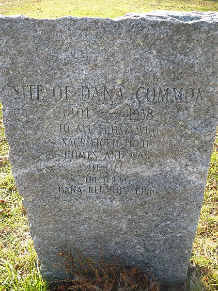
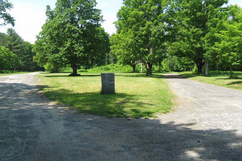
The most striking part of the ride is the trip through the center of the former town of Dana. While the buildings were razed, the old stone foundations remain, as shown in the photo on the right. A granite marker notes that this is the former site of Dana Common, and acknowledges the sacrifice of the former residents who lost their way of life.
Mass 351 completed its Quabbin circuit in Fall 2011. This was a challenging and rugged ride, with most of the eastern side on hard-packed dirt hiking trails, and all of the country up-and-down hills. We rode it with our friend Alex on a delightful fall day, and literally had the reservoir to ourselves. It is a strange feeling to look around and conclude that aside from your companions there is not a human being within several miles.